

Endee Labs Unveils AutoNav, World's First GPS-Denied Visual Navigation System, with Sub-Meter Accuracy for Drones/UAV
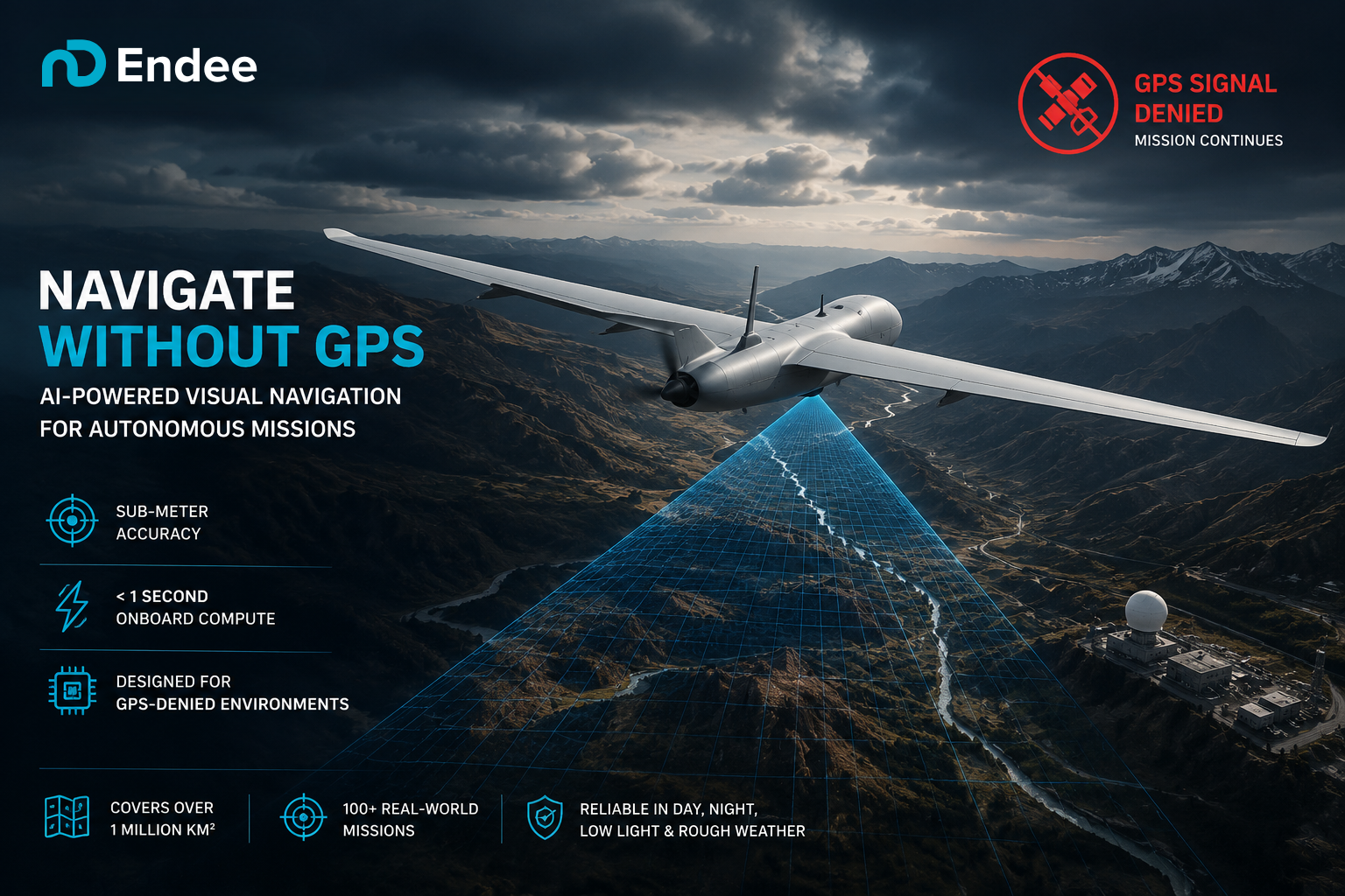
GPS Denied Navigation with AutoNav by Endee
Endee introduces a GPS-independent visual navigation system with sub-meter accuracy, onboard AI, and seamless integration with existing drone platforms.
SAN DIEGO, CA, UNITED STATES, July 21, 2026 /EINPresswire.com/ -- Modern conflicts have exposed one of the biggest vulnerabilities of autonomous drones: dependence on GPS. In the Russia-Ukraine war, both sides have extensively employed electronic warfare, including GPS jamming and spoofing, forcing drones and other autonomous systems to operate in environments where satellite navigation is unreliable or unavailable. The conflict has accelerated global investment in alternative positioning, navigation, and timing technologies that can continue operating even when GPS is denied.
More recently, military tensions in the Middle East have demonstrated that GPS disruption is no longer confined to the battlefield. During the recent conflict involving Iran, widespread GPS interference affected military operations while also disrupting civilian aviation and maritime navigation across the Persian Gulf and Strait of Hormuz, highlighting the growing need for resilient navigation systems that do not depend solely on satellite signals.
Recognizing this global challenge, Endee Labs, a Bengaluru-based deep-tech company, today announced its GPS-Denied Visual Navigation System, an AI-powered navigation solution that enables drones and autonomous platforms to determine their precise position using onboard vision instead of satellite signals. The system has successfully completed more than 100 real-world missions, delivers sub-meter positioning accuracy, supports over one million square kilometers of operational coverage, and computes a complete navigation solution in under one second, entirely onboard without cloud connectivity.
At the core of the system is Endee’s proprietary visual AI model, purpose-built for GPS-independent navigation in real-world operating environments. Unlike conventional vision models, it is engineered to maintain reliable localization across seasonal changes, evolving terrain, day and night operations, low-light environments, and challenging weather conditions including rain, fog, and haze. The complete solution is delivered as a compact onboard hardware module that complements existing GPS receivers, enabling seamless transition between satellite-assisted and vision-based navigation whenever GPS signals are degraded, spoofed, or unavailable. Designed for rapid adoption, the module integrates directly with MAVLink-compatible autopilots, allowing drone manufacturers and defence system integrators to upgrade existing platforms with resilient GPS-denied navigation capabilities without requiring changes to their flight control software or aircraft architecture.
Unlike conventional navigation systems that rely on GPS, Endee’s technology continuously converts live camera imagery into vector embeddings and matches them against a pre-indexed visual reference map using Endee’s proprietary vector database. This allows drones to accurately determine their location even when GPS signals are unavailable, jammed, or spoofed.
The technology is currently in pilot deployment with multiple drone manufacturers and defence technology companies across the globe, supporting reconnaissance, surveillance, autonomous inspection, logistics, and other mission-critical applications in GPS-denied and GPS-degraded environments.
At the heart of the navigation engine is Endee Labs’ proprietary vector database, originally developed for enterprise AI search and retrieval. Every frame captured by the drone is transformed into a vector embedding and matched in real time against millions of pre-indexed visual references. This high-speed similarity search enables precise localization at massive scale while remaining efficient enough to run onboard autonomous platforms.
Endee Labs plans to expand pilot deployments throughout 2026 while working with defence, aerospace, and commercial partners in India and international markets.
About Endee Labs
Endee Labs is a Bengaluru-based deep-tech company building high-performance vector databases and AI infrastructure for enterprise and autonomous systems. Its GPS-Denied Visual Navigation System extends the company’s vector search technology into autonomous navigation, enabling drones and robotic platforms to operate reliably in GPS-denied and GPS-degraded environments while its vector database powers AI search and retrieval across enterprise applications.
Vineet Dwivedi
Endee Labs Pvt Ltd
email us here
Visit us on social media:
LinkedIn
X
Legal Disclaimer:
EIN Presswire provides this news content "as is" without warranty of any kind. We do not accept any responsibility or liability for the accuracy, content, images, videos, licenses, completeness, legality, or reliability of the information contained in this article. If you have any complaints or copyright issues related to this article, kindly contact the author above.
